05Services
Property Documentation
Photography, drone, and condition records.
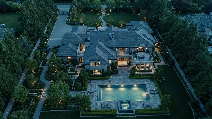
Photography, drone documentation, measurements, condition documentation, and project records that capture the evidence the moment it matters.
Capabilities & Expertise
What we evaluate.
Aerial drone documentation
High-resolution photography
3D measurement capture
Condition mapping
Project record management
Deliverables
What you receive.
- Organized photo library
- Aerial documentation set
- Condition report
- Measurement documentation
Who This Service Serves
Built for these clients.
Property OwnersProperty ManagersInsurance ProfessionalsContractors
Process
How we approach it.
01
ASSESS
Assess
02
DOCUMENT
Document
03
ANALYZE
Analyze
04
ESTIMATE
Estimate
05
REPORT
Report
06
GUIDE
Guide
FAQ
Questions about this service.
Photography, drone documentation, measurements, condition documentation, and project records that capture the evidence the moment it matters.